Land Surveying & Conceptual and Preliminary DEsign
Land Surveying & Conceptual and Preliminary DEsign
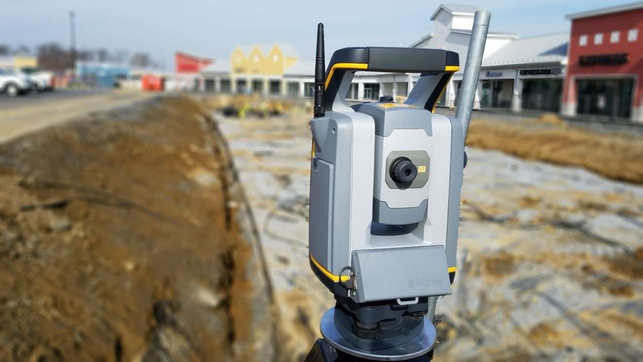
Faheem Akhter International LLC Our land surveying team uses the most up to date robotic total station equipment which expedites the field work process allowing your Project to be mapped efficiently and accurately. Our GPS equipment can communicate with both the United States’ GPS system and the Russian GLONASS system to obtain quicker lock and a higher degree of precisionthan either system can provide alone. Our surveyors then coordinate with our creative civil design team to deliver the Project from the initial survey through construction.


